
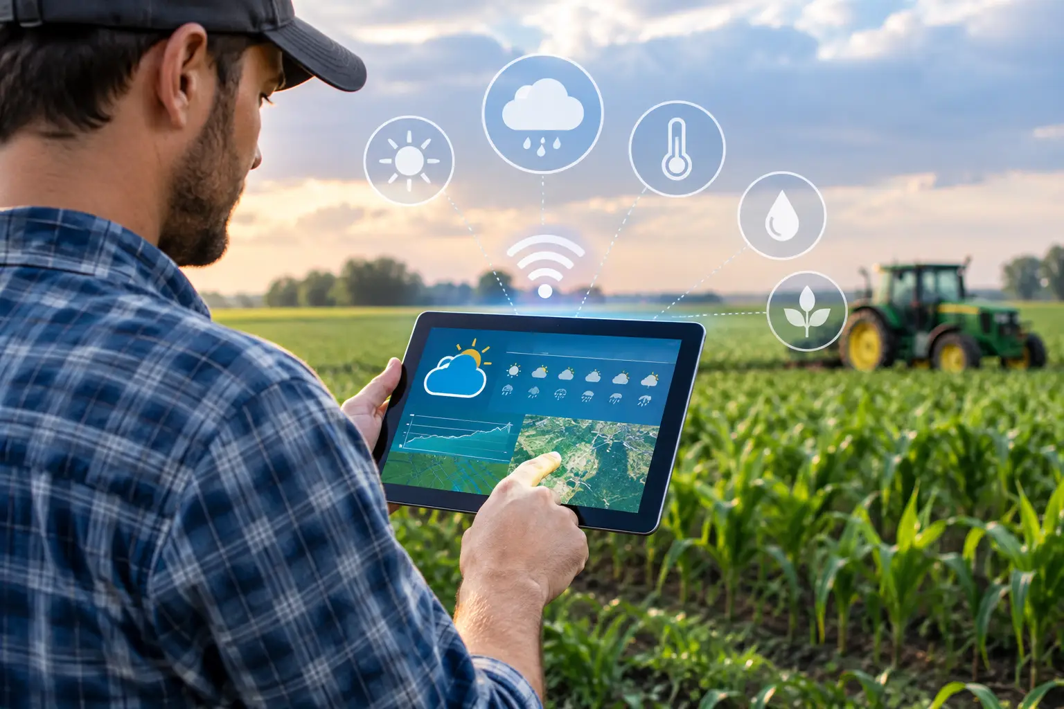
How to Integrate Weather APIs for Farm Decisions
A weather feed becomes valuable only when it changes a field decision at the right time. Knowing that rain is likely tomorrow is not enough for a production manager deciding whether to irrigate tomatoes, apply fertilizer through a drip system, schedule a fungicide application, or send field teams to inspect a disease-risk block. This is the practical standard for how to integrate weather APIs: connect weather data to crop context, operating rules, accountable people, and verification in the field.
For commercial farms and organizations managing grower networks, the main risk is not a failed technical connection. It is treating a generalized weather forecast as if it were a field-level agronomic recommendation. An API can supply observations and forecasts. It cannot, by itself, know soil water status, irrigation uniformity, root depth, crop stage, salinity constraints, or the quality of the farm’s execution.
How to integrate weather APIs into agronomic workflows
Start with the decision, not with the API provider. Define the operational question that weather information must answer. For example: should a citrus block receive its planned irrigation event, should a vineyard irrigation program be adjusted for high evaporative demand, or should extension staff visit vegetable growers after a period favorable to downy mildew?
Each use case needs a clear decision owner, a response window, and a measurable outcome. “Send weather alerts” is not a use case. “Notify the irrigation manager when forecast rainfall exceeds 0.4 inches within 24 hours of a scheduled irrigation, then require a documented decision to postpone, reduce, or maintain the event” is a usable workflow.
A productive integration generally combines four layers: weather observations, forecast data, farm and field master data, and agronomic logic. The weather API supplies the first two layers. Your operation must maintain the rest.
Build a reliable field-data foundation
Every API request needs a location. That sounds simple until an organization has duplicate farm names, outdated block boundaries, fields recorded only as village names, or one weather station assigned to dozens of locations with different elevations and rainfall patterns.
Store a defined latitude and longitude for each management unit, ideally with field polygons where the platform supports them. For large or variable farms, one point per farm may be inadequate. Rainfall can vary sharply across short distances, especially in convective climates or hilly production areas. A forecast grid cell may also represent conditions differently from a valley, coastal zone, or protected growing area.
Keep a source hierarchy. A common approach is to use on-farm stations for measured rainfall, temperature, wind, and humidity where stations are maintained and quality-checked; use a weather API for forecast data and gap filling; and retain a secondary source for validation when readings are questionable. The right configuration depends on crop value, spatial variability, and the consequences of a wrong decision.
Do not mix units casually. Define whether rainfall is stored in inches or millimeters, temperature in Fahrenheit or Celsius, wind speed in miles per hour or meters per second, and solar radiation in the selected energy unit. Convert at the ingestion layer and preserve the original source value. Unit errors are among the most avoidable causes of incorrect irrigation calculations and misleading dashboards.
Choose data variables that serve the crop decision
Many integrations collect every available weather parameter and use very little of it. A better design uses a limited data set tied to specific actions.
For irrigation scheduling, daily minimum and maximum temperature, relative humidity, wind speed, solar radiation, rainfall, and reference evapotranspiration are commonly relevant. If the API does not provide reference ET, calculate it only when the underlying variables, time step, and calculation method are appropriate. FAO-56 Penman-Monteith ET0 is widely used, but an ET0 value from a distant reference surface or a poorly resolved forecast is still an estimate, not a direct measurement of water use in a specific field.
For fertigation, rainfall forecasts may help prevent an unnecessary irrigation event or reduce leaching risk. They do not replace a review of irrigation depth, soil texture, root-zone nitrate, water quality, and nutrient uptake stage. In sandy soils, a forecast error can be costly. In saline conditions, rainfall may contribute to leaching, but it can also alter the planned timing and concentration of nutrient applications. The rule must account for the crop and the soil, not rainfall alone.
For disease and pest workflows, temperature, leaf wetness or a suitable proxy, humidity, rainfall duration, and wind can be useful inputs. However, disease models need local calibration and crop-specific thresholds. A generic “high disease risk” alert without phenology, cultivar susceptibility, canopy conditions, and recent scouting records often creates alert fatigue.
Design the integration architecture before automating alerts
The technical pattern should be simple enough to audit. Pull forecast and observed data on a defined schedule, validate the response, store raw records, calculate derived variables, run decision rules, and send the resulting task or alert to the right person.
The raw API response should be retained for a practical period. When a manager asks why an irrigation recommendation changed, the team needs to see the forecast that triggered it, the rule version used, the field data available at that time, and the action that followed. Traceability matters as much as the notification itself.
Use unique identifiers to connect records. The weather location ID, farm ID, field ID, crop, variety where relevant, planting date, phenology stage, irrigation system, and assigned agronomist should be available in the operating data model. Without this structure, weather information remains a map layer rather than a controlled agronomic process.
Set sensible refresh rates. Forecasts may be refreshed several times per day, while daily ET calculations and irrigation planning may only need a daily cycle. During frost, heat, or storm events, shorter intervals can be justified. More frequent API calls are not automatically better. They increase cost, create more duplicate data, and can overwhelm teams with changing messages.
Treat alerts as assignments, not announcements
An alert should state the relevant field, the condition detected, the decision required, and the deadline. It should also capture what happened next. For example, an irrigation-risk alert can require the manager to select “irrigation reduced,” “irrigation postponed,” “plan maintained,” or “field inspection required,” with a short reason.
This closes the loop between intelligence and execution. It also reveals whether a rule is useful. If teams consistently override an alert because it ignores a soil-moisture sensor, a planned harvest, or unreliable local rainfall estimates, the system should be revised rather than forcing compliance with poor logic.
For distributed operations, yieldsApp can organize this workflow across farms, growers, and field teams by connecting weather-driven protocols with tasks, evidence, follow-up, and management visibility. The objective is not to replace the agronomist’s judgment. It is to make the judgment, the field response, and the outcome visible across the program.
Validate weather-driven recommendations in the field
The most credible integration has a validation plan. Compare API rainfall against maintained rain gauges, check forecast accuracy by season and location, and review whether ET estimates align with soil moisture trends and crop response. In high-value crops such as grapes, citrus, berries, greenhouse vegetables, and export vegetables, this review can justify more localized instrumentation and tighter irrigation controls.
Track operational metrics alongside agronomic ones. Useful measures include the percentage of alerts acknowledged on time, field visits completed after risk notifications, irrigation changes documented, forecast-to-observed rainfall error, and yield or quality outcomes where the response can reasonably be evaluated. Avoid claiming that weather data caused an improvement when other changes occurred at the same time.
A senior agronomist should periodically review the rules, especially after crop failures, unusual weather, or repeated overrides. Cropaia supports this type of work through practical agronomy consulting and technical training that connect irrigation, fertigation, crop nutrition, and diagnostic decisions to the actual constraints of the farm.
Common failures to avoid
The first failure is using the nearest available forecast point without checking whether it represents the field. The second is applying one irrigation or disease threshold across crops, soils, seasons, and growth stages. The third is sending alerts without an assigned response and then mistaking delivery for execution.
Another frequent error is integrating weather data before cleaning field master data. If a grower, block, crop stage, or irrigation system is wrong in the system, the most accurate forecast will still support the wrong decision. Finally, do not automate actions that require human confirmation when the financial or crop risk is material. Weather-driven rules should prioritize attention and standardize response, not hide uncertainty.
A well-designed weather API integration gives agronomy teams a disciplined way to act earlier, document decisions, and learn from each season. Start with one high-value decision, validate it across real fields, and expand only after the operational response is working.











About Post Author
